Collection
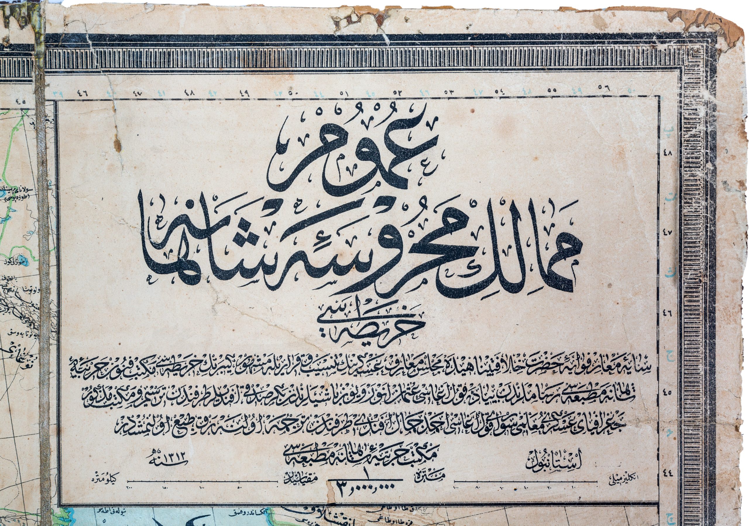
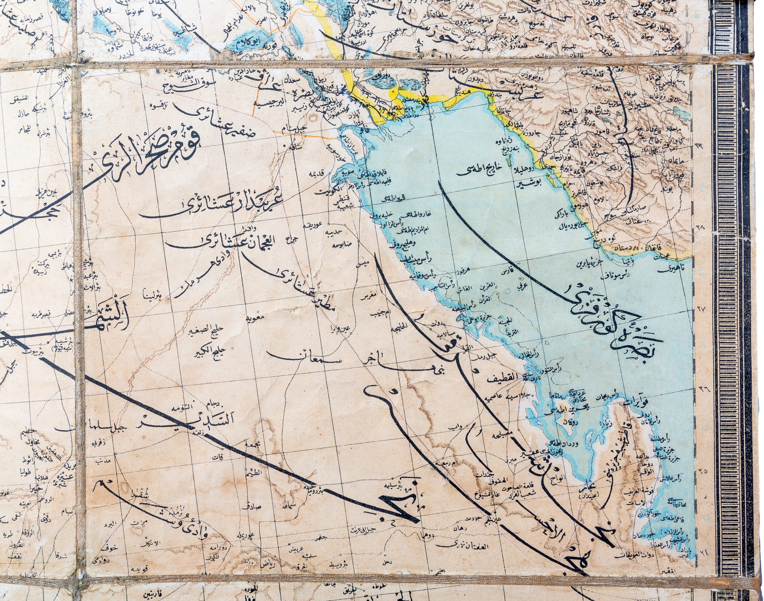
General Map of the Protected Domains of the Ottoman Empire
1312 H / 1896 CE
A very rare and monumental Ottoman map, produced by the Imperial Military Academy’s artists during the reign of Sultan Abdulhamid II, capturing the extent of the Ottoman Empire at the turn of the 20th century. Spanning from the Balkans to the Arabian Peninsula, the map offers not only a geographical overview but also a visual record of the empire’s strategic infrastructure, especially its ambitious railway projects.

Marifetname: The Book of Gnosis
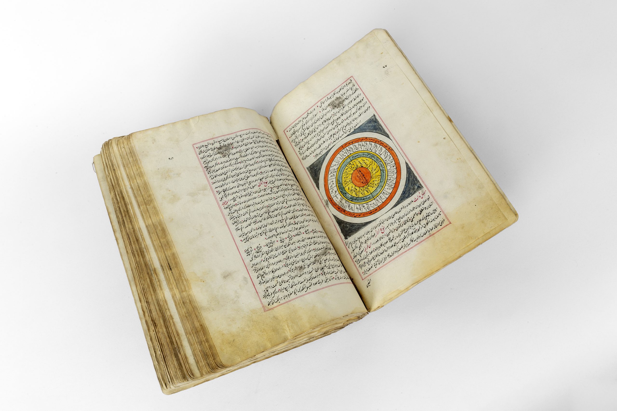
1227 H / 1812 CE
A significant and well-preserved early 19th-century manuscript copy of Ibrahim Haqqi Erzurumi’s celebrated encyclopedic work, Marifetname, an ambitious synthesis of spiritual mysticism and scientific inquiry. This monumental text, compiled in the 18th century, reflects a rare convergence of Islamic metaphysics and post-Copernican cosmology—the earliest such effort by a Muslim scholar. It includes wide-ranging discussions on astronomy, mathematics, medicine, anatomy, psychology, and theology, all framed within a Sufi understanding of divine knowledge.

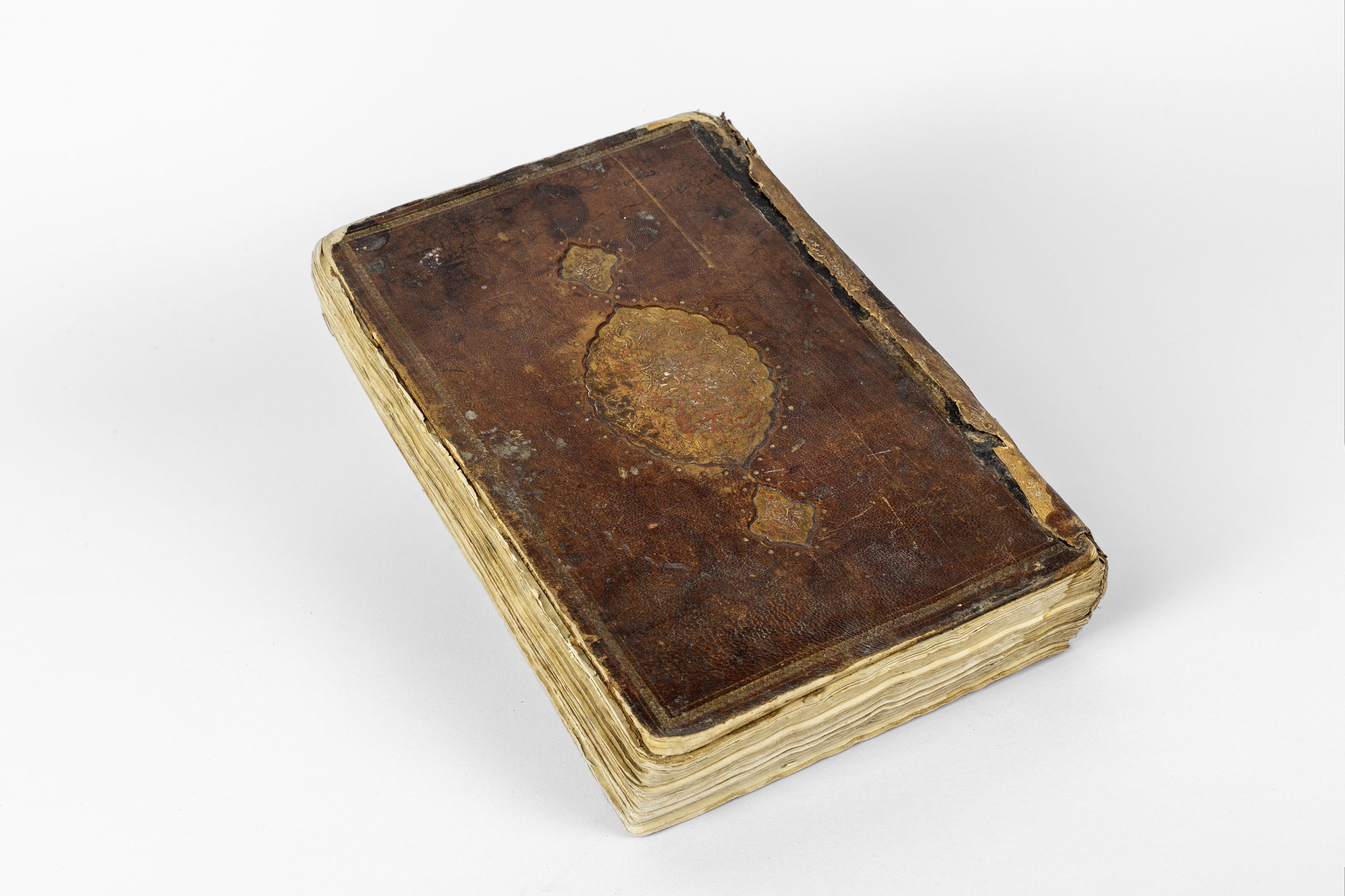
Travelogue of India, Swat and Afghanistan
1300 H / 1883 CE
First edition of a remarkably scarce Ottoman travelogue documenting the diplomatic mission of Ahmet Hamdi Efendi, envoy of the Sublime Porte, through British India, the Swat Valley, and Afghanistan in the late 19th century. Beginning in Istanbul, the journey continues via steamship through key colonial domains — Bombay, Poona, Jaipur, Calcutta, Delhi, Lahore, Madras, Ceylon, and Kashmir — and culminates in Afghanistan and Kabul, before recounting a return pilgrimage to Mecca.
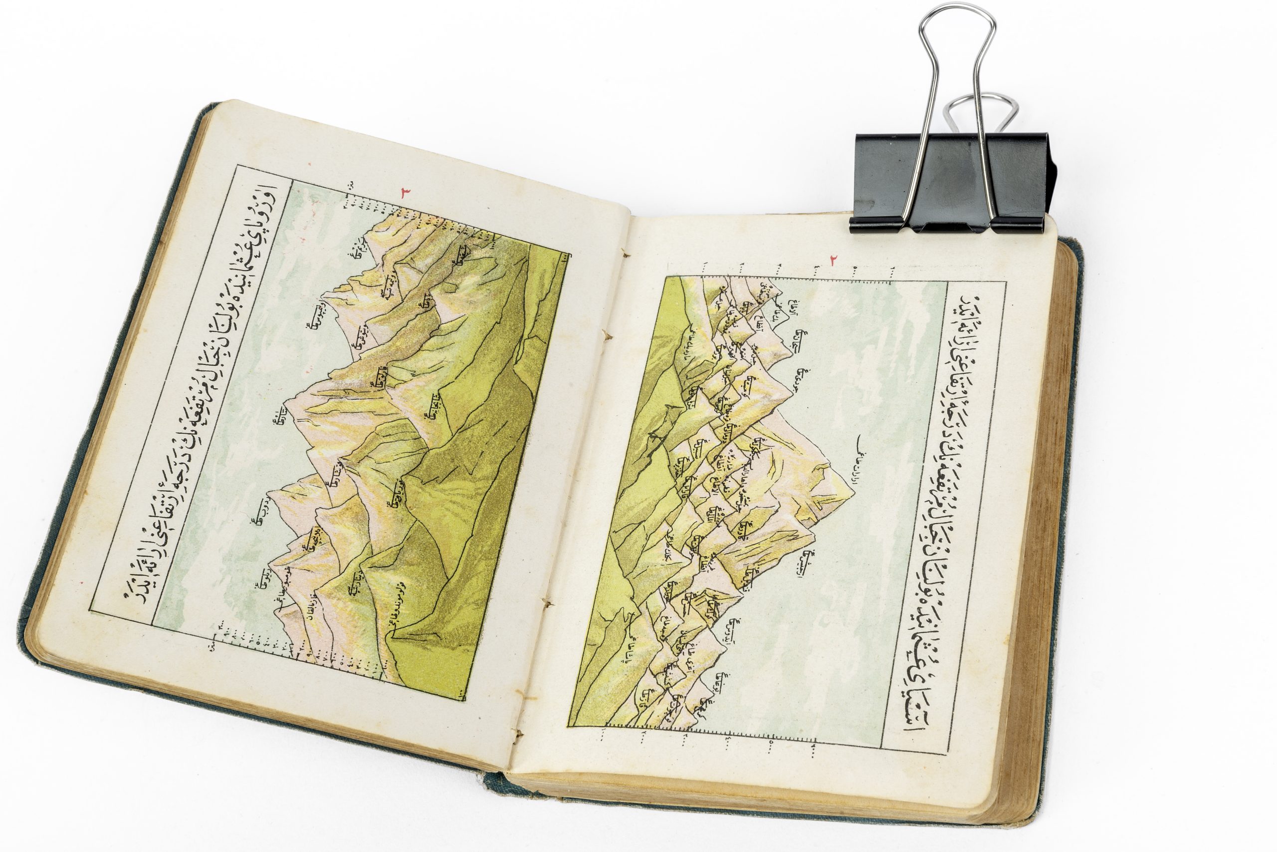
Pocket Atlas of the Ottoman Empire
1323 H / 1907 CE
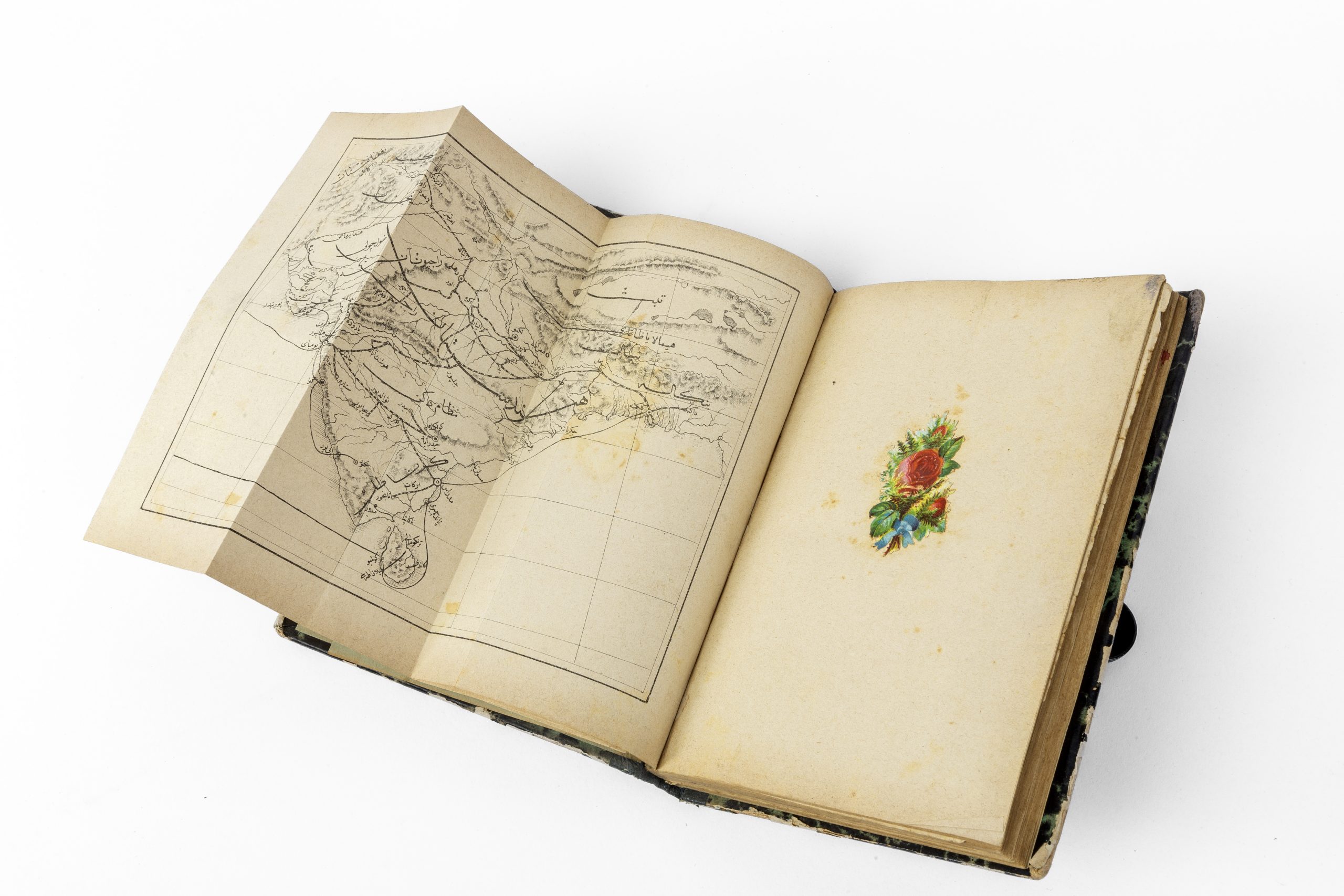
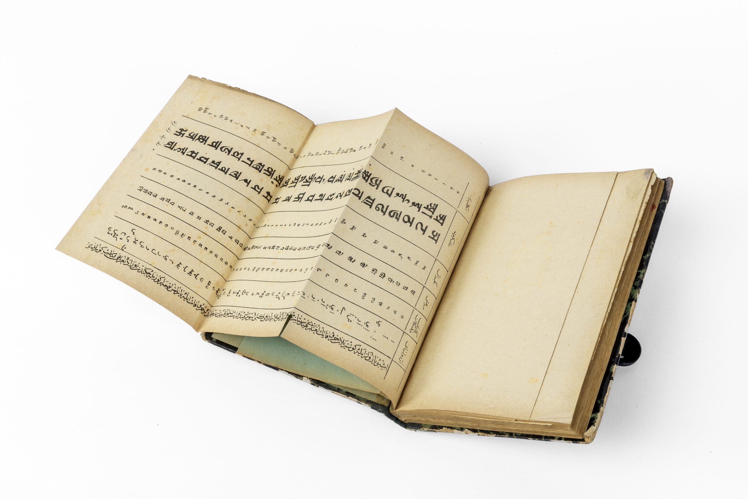
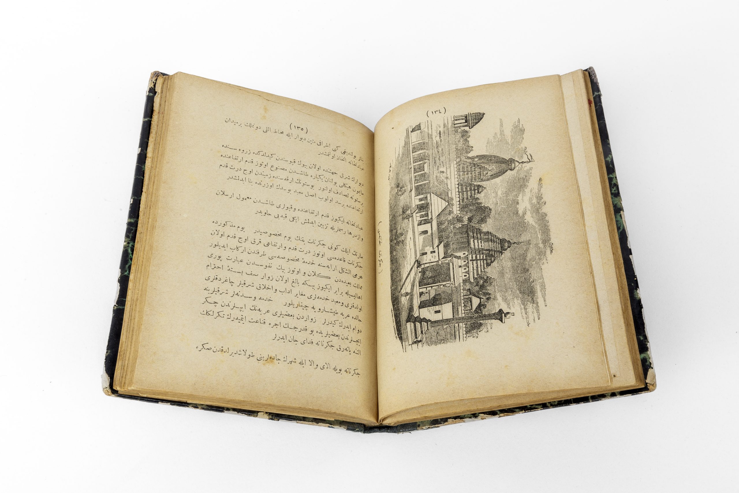
A rare and richly illustrated Ottoman pocket atlas, detailing the geography and demographics of the Ottoman Empire in the early 20th century. The atlas covers the vast territorial span of the Empire, from North Africa through the Arabian Peninsula, the Levant, Asia Minor, and parts of the Balkans. Notably, the atlas includes detailed maps of Samos and the Hejaz Vilayet, the latter showing the planned route of the Hejaz Railway.


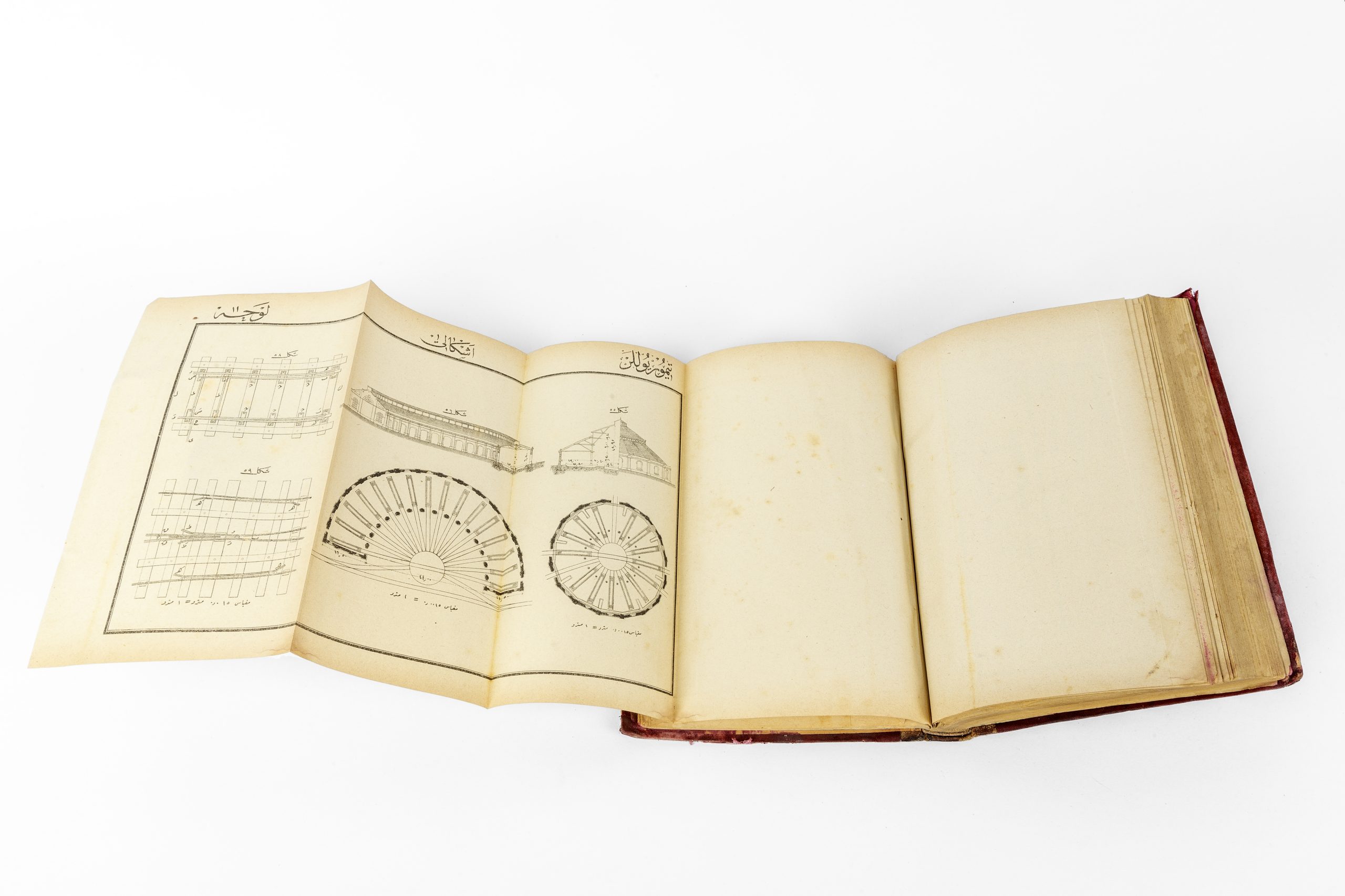
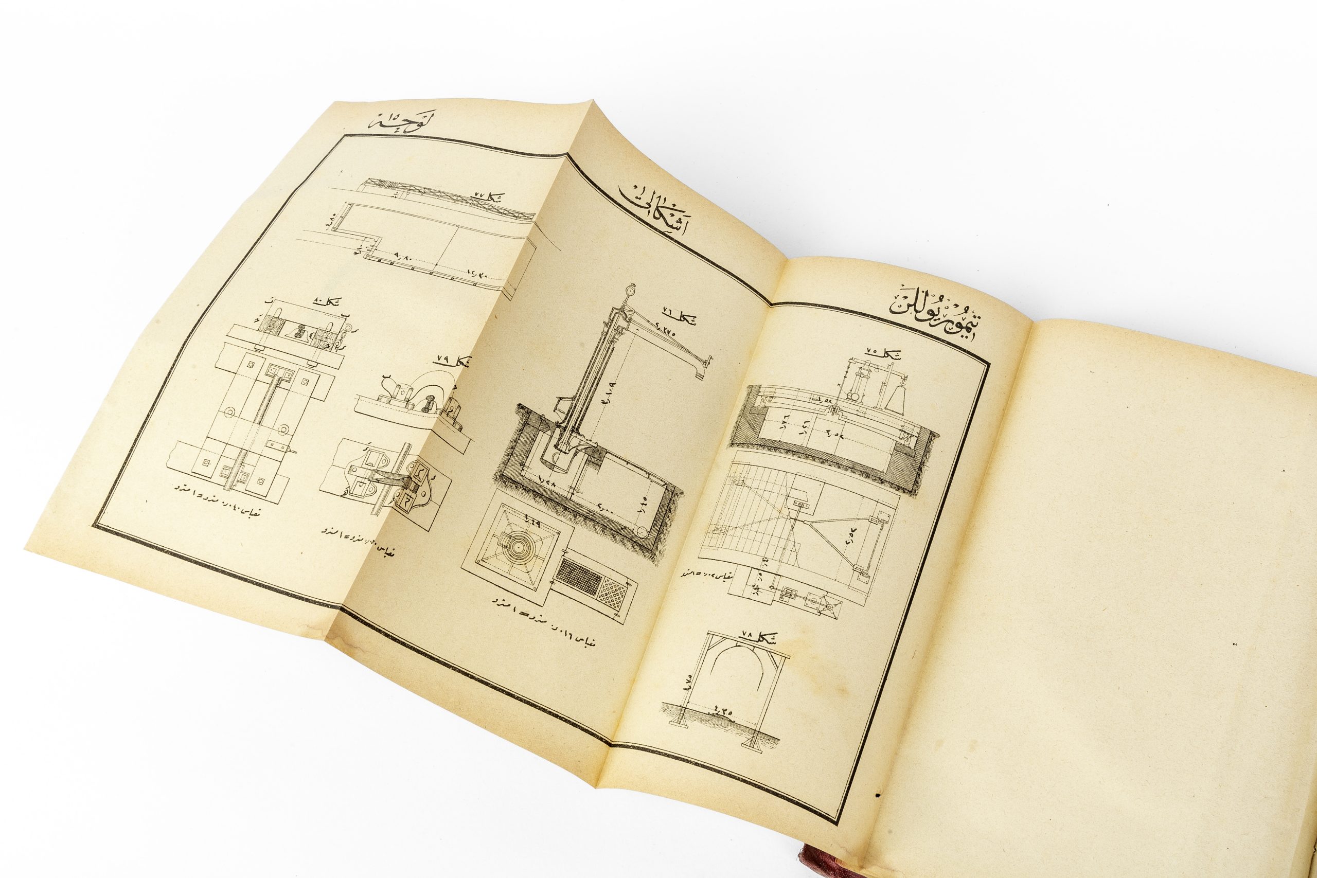
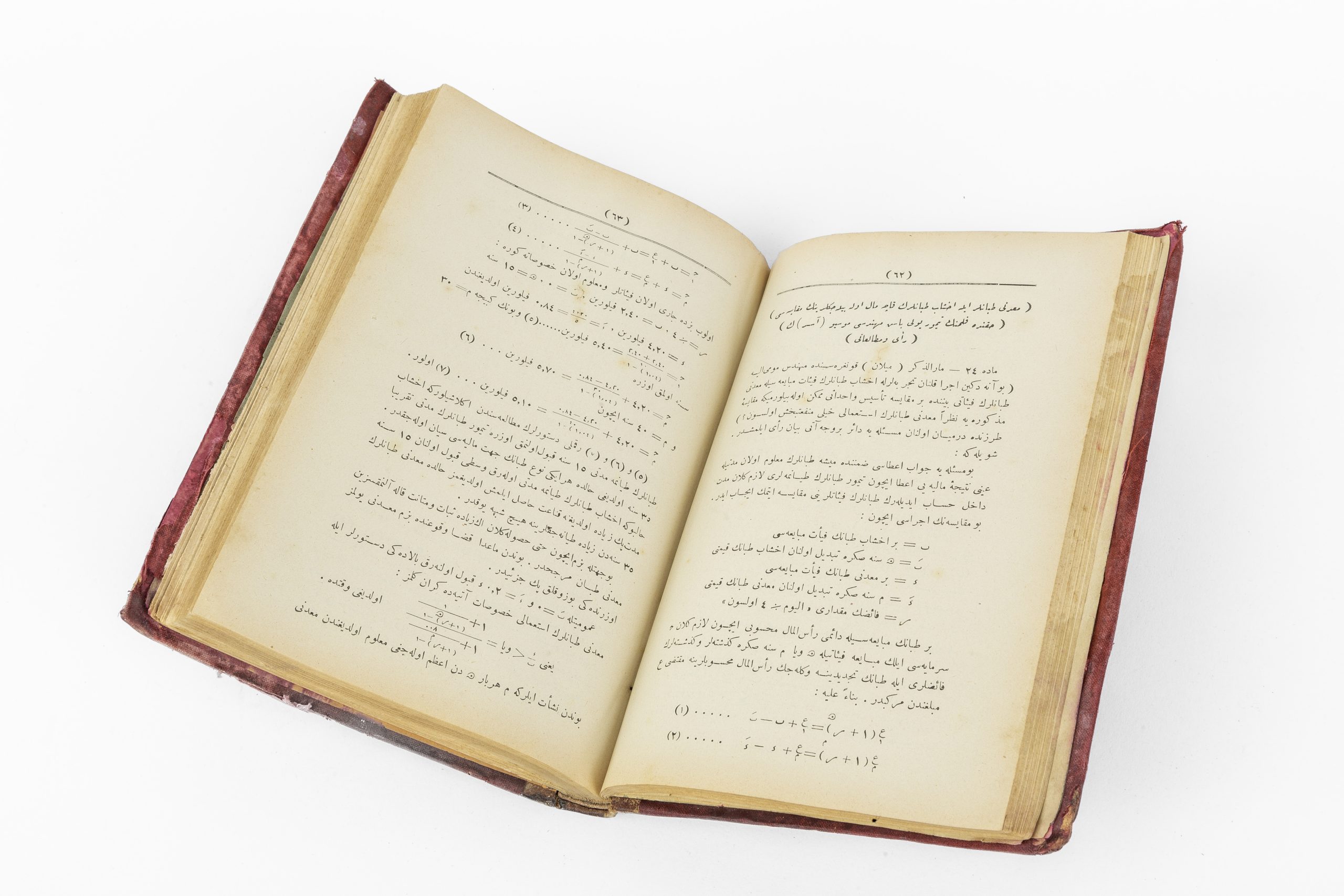
Theoretical and Practical Railways
1312 H / 1894-95 CE
This seminal work by Hüseyin Şerafeddin Pasha is among the earliest locally authored and printed manuals on railway theory and construction in Ottoman Turkish. It reflects the Empire’s increasing engagement with industrial infrastructure and scientific modernization during the final decades of the 19th century.
Map by the Administration of the Ottoman Public Debt
1905 CE
The Ottoman Public Debt Administration (OPDA), established in 1881, was a European-run financial apparatus created to ensure the repayment of the Ottoman Empire’s international debts. Effectively a semi-autonomous bureaucracy embedded within the imperial system, it was governed primarily by European state officials and served the interests of foreign bondholders.


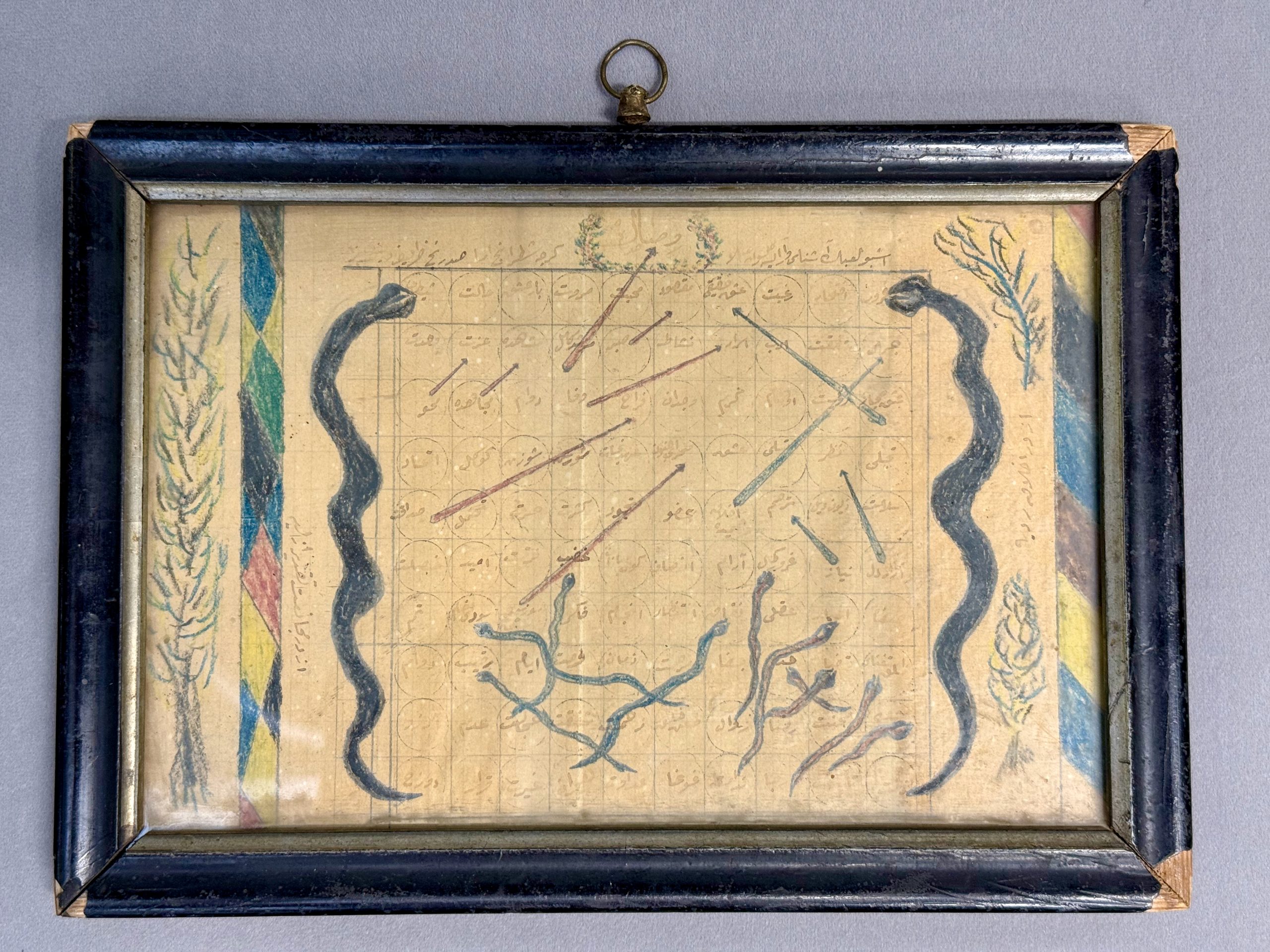
Chess of the Gnostics (Mystics’ Chess)
Early 20th century
A rare and evocative example of Sufi folk art, this hand-drawn “Satranç-ı Urefa” (Chess of the Gnostics) is a mystical board game used as an allegorical teaching tool. Rooted in Islamic spirituality, this early version of what later evolved into games like Snakes and Ladders reflects the Sufi path toward divine unity (tawhid), using numbered spaces and symbolic “ascents” and “descents” to represent the soul’s journey through spiritual states.
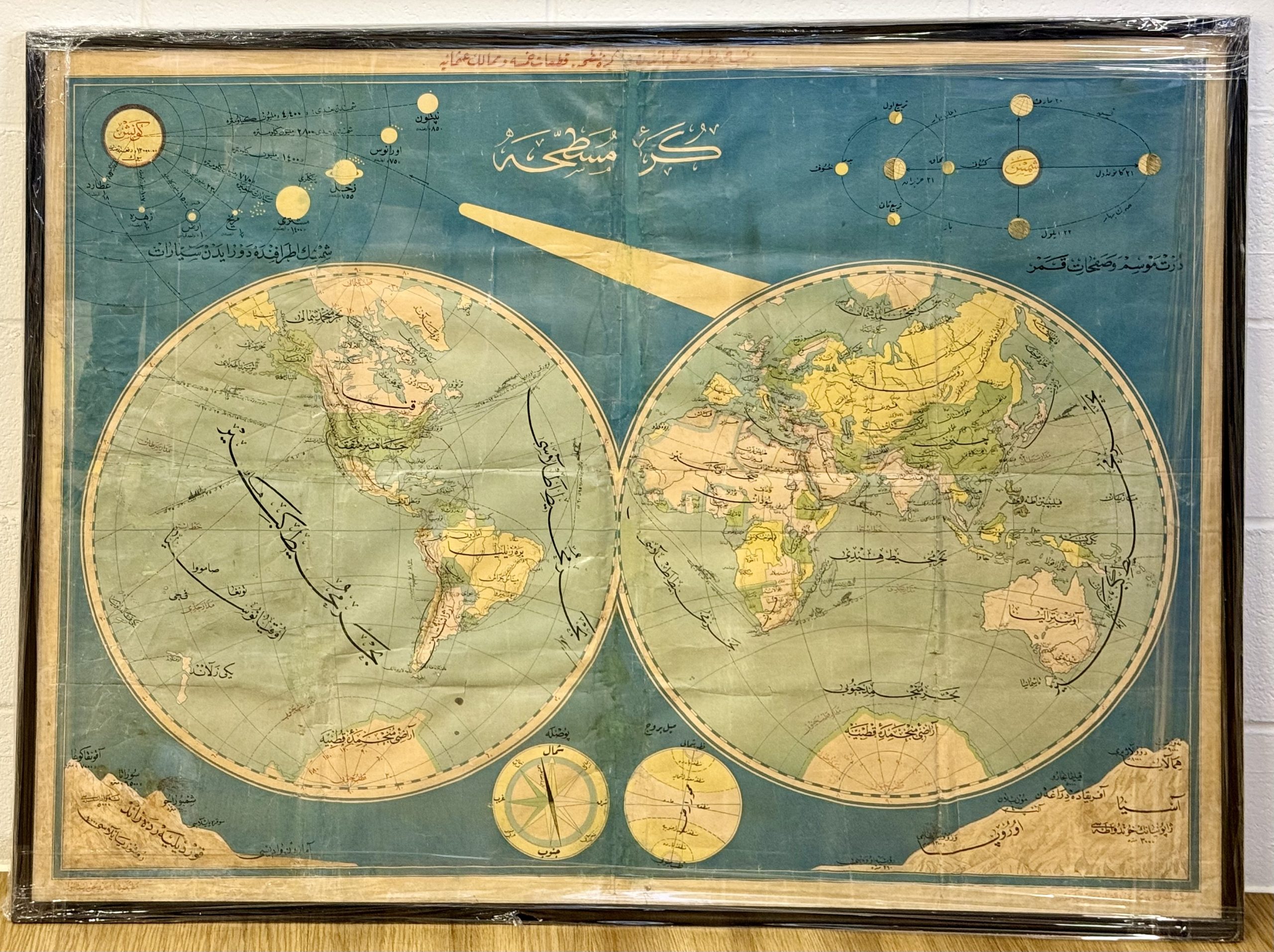
The Flattened Globe
Early 20th century
An impressive and visually rich Ottoman educational map, produced in the early 20th century as part of a broader pedagogical effort to modernize geography instruction across imperial schools. Designed by Mehmed Abdülkadir Bey and Osman Mükerrem Efendi, two prominent Ottoman cartographers of the period, the map presents a stylized projection of the five continents (kıtaat-ı hamse) alongside Ottoman territories.